Interoperable Solution
Compliant with NENA and IETF standards which supports interoperability with the Forest Guide and neighboring ESInets.
Highly Redundant And Reliable
Ensuring our solution is functional and available at all times and exceeds five-9s availability.
Secure Access
Mitigate risk and ensure accessibility to the right people.

Route 9-1-1 Calls To The Right PSAP, Every Time
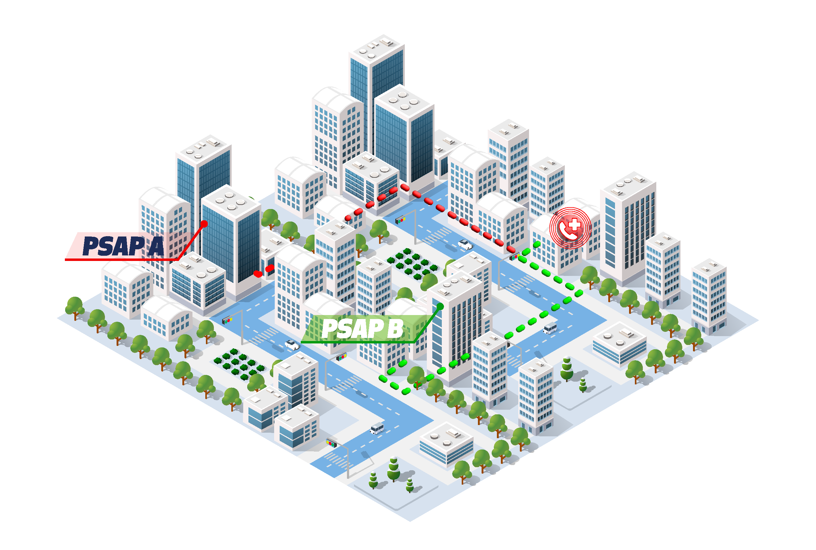
The ECRF is a scalable, NENA and IETF-compliant LoST (Location-to-Service Translation) server that responds to queries containing a civic address or geodetic information, as well as the desired emergency service, and returns the appropriate PSAP and responding agencies based on the authoritative GIS data.

Locate Incidents With Exactitude
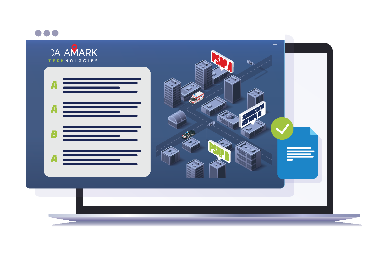
The LVF validates that a civic address stored in the Location Database/Location Information Server (LDB/LIS) can be uniquely identified prior to a 9-1-1 call, ensuring the most accurate location information will be used during an emergency.
Contact Us To Learn More
Seamless Integration With DataManager
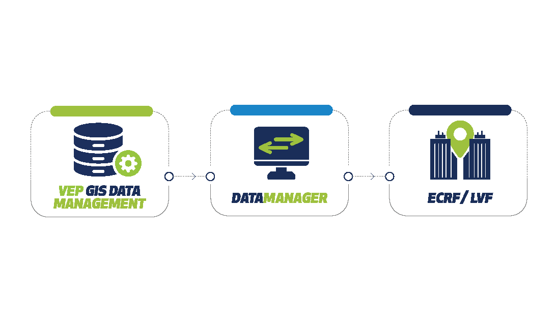
Because the ECRF plays a critical role in the location-based routing of emergency calls, DATAMARK Technologies’ Spatial Interface product, DataManager, ensures GIS data in the ECRF/LVF is current, accurate and authoritative. GIS updates are validated and published within minutes.
Learn More About DataManager

