

GIS Preparation for NG9-1-1
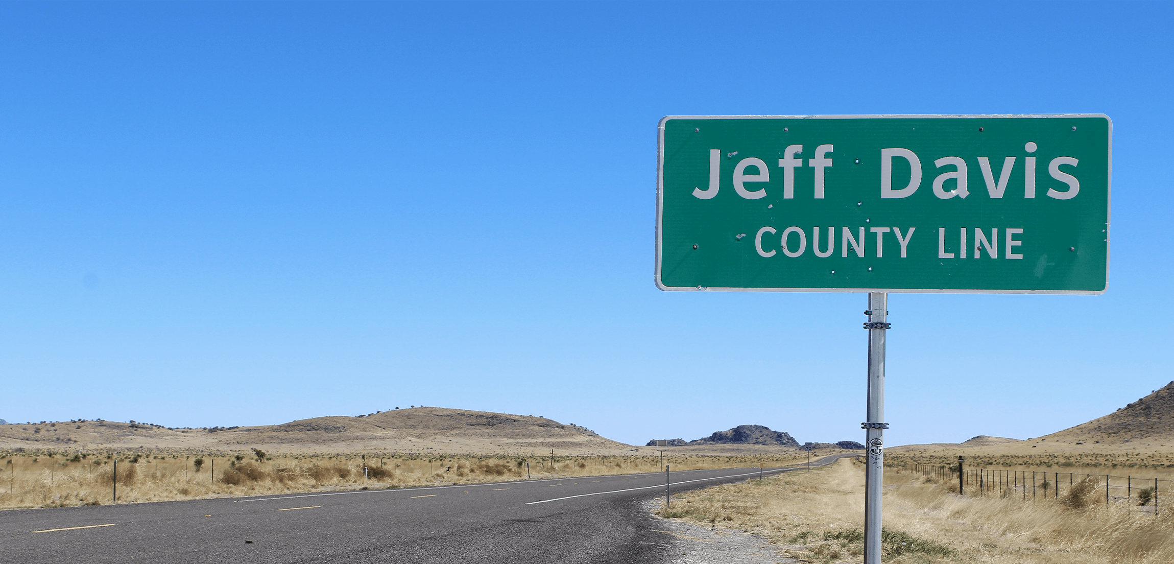
Designed to incorporate stakeholders from neighboring jurisdictions to assess, develop, and correct NENA-required boundary layers for conformance with the NG9-1-1 GIS Data Model. Includes boundary workshops, documentation of boundary resolution approach and corrected NG9-1-1 boundary layers.